


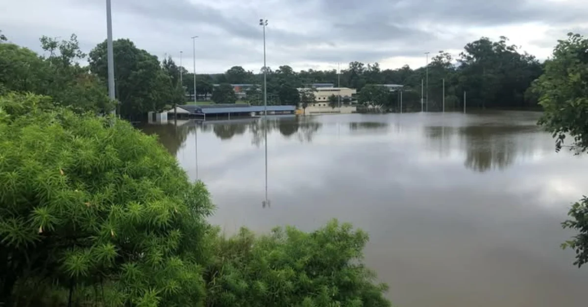
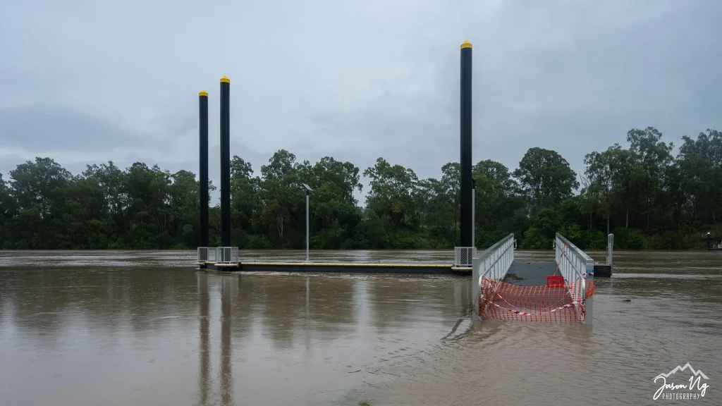
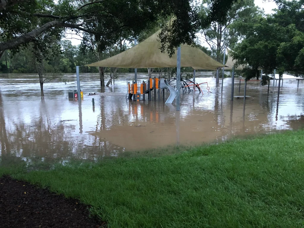
A number of homes in the Jindalee flood catchment area would be among thousands across Brisbane to be added to a revised flood risk map after new creek catchment studies reshaped hazard zones.
Focus On Creeks, Not The River
Thousands of residents will soon see their properties listed on Brisbane City Council’s updated flood risk map after new studies identified more homes at risk from creek and waterway flooding. Some households will appear on the overlay for the first time, while others will have their risk category changed.

The update, based on studies of the Jindalee, Breakfast Creek, and Lota Creek catchments, will be added to the City Plan on 19 September 2025. Citywide, 17,246 properties are affected, with 10,129 newly listed, about 2,000 upgraded to higher risk, and more than 400 removed.
The Jindalee flood catchment includes the suburbs of Jindalee, Sinnamon Park, and sections of Middle Park. These suburbs are prone to flooding because they sit within the Brisbane River catchment and its tributaries.


What This Means For Property Owners
The updated flood overlay covers only creek and waterway flooding, not Brisbane River or overland flow. In the Jindalee catchment, it reflects local creek systems rather than past river flood events, with scenarios ranging from common floods to rare 1-in-2,000-year events.

Council will notify affected property owners before the changes, detailing whether their property is new to the map, has a revised risk, or has been removed. Once live, the online Flood Awareness Map will let residents view their risk and plan for preparation, renovations, or development.
Calls For Fair Treatment From Insurers
Council has urged insurers not to increase premiums unfairly as a result of the updated mapping, especially in cases where the flood event probability is very low.
In previous updates, some residents in other suburbs saw sharp rises in premiums, prompting concern in the community. The city’s message to insurers is to consider the context of the data and apply changes reasonably.


Part Of A Broader Flood Preparedness Program
The Jindalee study is part of a rolling program that has delivered 29 flood studies across Brisbane over the past decade.
Each study feeds into Council’s planning scheme to improve community awareness and resilience. The aim is to provide accurate, location-specific flood risk information so residents can better prepare for the future.
Updated 28-November-2025